What is a Municipal Development Plan (MDP) and Land Use Bylaw (LUB) and why is it important to go through this process?
The Municipal Development Plan is the visionary community plan for the Town, it provides high-level guidance, goals and policy. The Land Use Bylaw implements the MDP’s goals, it provides detailed regulations on building location, form and use. Both of these are statutory documents under the Municipal Government Act.
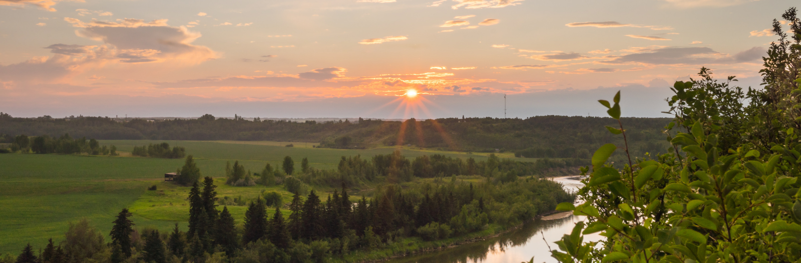
A review of these documents was important to help us understand how the river impacts future development for the valley. While we know the river can be a threat to us, it's an asset for the majority of the time. We need to understand what opportunities it can create for future growth.
Council approved the new MDP and LUB in December 2020. The new documents are now available on the Town Website.
Click Here to View the New MDP Documentation
Click Here to View the New LUB Documentation
Can I review the proposed land use district maps before I provide feedback on the proposed MDP and LUB?
Yes, visit landplanning.drumheller.ca/maps to view an interactive map where you can put in your address and see what your current district is, and what the proposed district would be. For a quick snapshot of your neighbourhood scroll down the page for PDF maps. Don’t forget to leave your feedback while you’re there!
The resiliency and flood mitigation office provided direction to O2 Planning and Design on what needed to be addressed in the modernized version of the Town planning documents. What are they?
- Place the river at the heart of the plan
- Understand channel capacity, making room for the river and protecting development with berms creating new public amenities such a public trails, natural spaces and parks
- Ensure the views that make the badlands experience are protected
- Develop smart and attractive growth areas away from the river
- Build upon the unique neighbourhood identities throughout the Valley
Will the revised MDP and LUB impact individual property owners?
Yes. The MDP sets out new zones; a conveyance zone for the river, a protected zone defined by the structural flood measures and a growth area where flooding risk is greatly reduced. Individual property owners may be impacted by the alignment and location of structural measures.
How do the MDP and LUB recommendations impact flood mitigation?
Embedding the river and flood mitigation measures into these planning documents is critical for our resiliency and climate adaptation system. When the river is located at the heart of the planning process, it helps reorganize the Valley into open spaces, protection areas and new growth. All of these components are fully entwined into the flood mitigation program.
How do the MDP and LUB recommendations impact Town operations?
These recommendations will provide more clarity and decrease administrative burden, making the development process clearer for both applicants and development authorities. Ultimately, they support our economic development strategy for decades to come.
Based on these goals, what are the strategies to modernize the MDP and LUB?
- More vision for 20 years, 50 years and 100 years
- Modernize the Land Use Bylaw by using a layered approach and reducing the number of districts from 21 to 8
- Decrease administrative requirements
- Make both the MDP and LUB easier to interpret and administer
- Recognize the unique form of the neighbourhoods
- Eliminate parking minimums
- Reduce bureaucratic burden by focusing on form overuse
- Provide more incentives that invite creative investment
Can you explain the layering approach to the Land Use Bylaw that was shown in the presentation to council on August 4, 2020?
By reducing the number of land use districts, we refocus from “use” into “form.” We look at a transect between the most physically intensive uses of the land and natural space where we have almost no development at all. We then find breakpoints within that to define the form we need to see in different areas. Once we have the basic system in place, we can apply Valley-wide considerations using layers and overlays.
For example, we can take a Badlands overlay, which helps us understand the most critical and visible elements of the Badlands landscape, and we can protect them and start to layer them on, which could provide additional restrictions in certain areas. For another example, we can use a neighbourhood overlay to look at the unique characteristics and conditions of each neighbourhood throughout the valley. This overlay may add or remove certain restrictions on properties to allow more flexibility in some areas.
The overlay is a tool that gives us Valley-wide control over some of these factors that we know happen locally without ending up with a land-use bylaw that has dozens of districts. It also makes it easier to revise and update those components of the land use bylaw. If there is a new set of mapping or area that requires focus, instead of revising a bunch of districts we can instead revise it all in one place. It makes it a much easier tool, which allows the flexibility and openness that we want, and also links to the intention we have long-term for the Valley.
If a private property is on the floodway and a dike is built to protect the property would we still be allowed to develop/put a home on it or will development on any floodway area be denied?
Development along the river will still be allowed as long as new flood mitigation criteria that will be part of the revised LUB are met. Areas larger than 3.0 acres may have more requirements.
What does Class 1, Class 2and Class 3 mean on the smart growth in the Master Engineering Design and Assessment of Planning Impact document?
These class designations are simple notifications of owners who have indicated a desire to have lands developed. The lower the number the more interest has been expressed and the perceived opportunity such as servicing, access and connectivity. It is not an accurate, comprehensive or complete list.
How do the Land Use Bylaws impact development near the rivers?
The Land Use Bylaws utilize a flood hazard overlay to identify lands that are susceptible to flooding during high water events. The flood hazard overlay was created using a design flood flowrate of 1850 m3/s along the Red Deer River. Lands within the flood hazard overlay are labeled as protected zones or conveyance zones.
Protected zones are areas that are located behind berms that have been constructed to the 1850 m3/s design flood elevation. There are currently no areas in Drumheller that are protected from the design flood. Areas labeled “under review” are located behind proposed dikes. These areas will not become protected until the dikes have been constructed. The Land Use Bylaw for protected zones are currently in development. Areas under review follow the general regulations of lands within the flood hazard overlay map. These regulations require the first floor of buildings and all mechanical and electrical equipment to be located above the flood construction level (water elevation of 1850 m3/s flow rate).
Conveyance zones are areas that are not protected from the river during the design flood. In addition to the general regulations, development of new buildings or structures in the conveyance zones are not allowed unless they are to replace existing structures on the same footprint and meet the first-floor flood construction level requirement.
Can the Town explain the "protected flood fringe" area and when does the Town intend to address this concept in the Town's Land Use Bylaw so that realtors and property owners have knowledge of future regulations?
The Protected flood fringe areas will consist of areas that are currently located within the Flood Hazard overlay but are protected by the dikes. Currently, no areas in the Drumheller Valley are protected by dikes from an 1850 m3/s flow rate on the Red Deer River. Once the dikes have been constructed, the Land Use Bylaw will be updated to reflect the development regulations in these areas.
How do the Land Use Bylaws impact development near the rivers?
The Land Use Bylaws utilize a flood hazard overlay to identify lands that are susceptible to flooding during high water events. The flood hazard overlay was created using a design flood flow rate of 1850 m3/s along the Red Deer River. Lands within the flood hazard overlay are labelled as protected zones or conveyance zones.
Protected zones are areas that are located behind berms that have been constructed to the 1850 m3/s design flood elevation. There are currently no areas in Drumheller that are protected from the design flood. Areas labelled “under review” are located behind proposed dikes.
These areas will not become protected until the dikes have been constructed. The Land Use Bylaw for protected zones is currently in development. Areas under review follow the general regulations of lands within the flood hazard overlay map. These regulations require the first floor of buildings and all mechanical and electrical equipment to be located above the flood construction level (water elevation of 1850 m3/s flow rate).